- 402 E. Main Street, Buena Vista CO (719.395.8001)
- BV 9:00 am - 6:00 pm Every Day
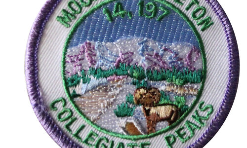
Missouri Mountain is the 36th highest peak in Colorado,at 14,067 feet, and is located in the Collegiate Peaks Wilderness.
$5.00Little Bear is located on the Sierra Blanca Massif 8.8 miles of the Town of Blanca. This mountain is composed of pre-Cambrian granite estimated to be approximately 1.8 billion years old. Elevation 14,037 feet.
$5.00Humboldt Peak is located near Westcliffe and was named in honor of German naturalist and explorer Alexander von Humboldt. Elevation 14,064 feet.
$5.00Culebra Peak (Spanish for "snake") is located on private land, 14.2 miles of San Luis in Costilla County. Elevation 14,047 feet.
$5.00Castle Peak takes its name from its castellated summit. It is located 11.6 miles of the Town of Crested Butte on the drainage divide separating Gunnison National Forest and Gunnison County. Elevation 14,265 feet.
$5.00Below the steep North Face of Blanca Peak two live Glaciers once developed, until extinction sometime after 1903. Elevation 14,345 feet.
$5.00Wetterhorn Peak (14,021 ft.) and neighboring Matterhorn Peak are named after the Wetterhorn and the Matterhorn, two famous peaks in the Swiss Alps.
$5.00Uncompahgre Peak is the sixth highest summit of the Rocky Mountains. The prominent 14,321 foot fourteener is the highest summit of the San Juan Mountains and the highest point in the drainage basin of the Colorado River and the Gulf of California.
$5.00It is an airy move to get to the summit of this Needle Range peak that is flanked by Eolus and Windom. It was named for the rays of sunshine that pass through the spires on its ridges. Elevation 14,059 feet.
$5.00Snowmass Mountain is named for the large snowfield that lies on its eastern slopes. It lies along the border between Pitkin and Gunnison counties, west of Aspen and southwest of the town of Snowmass Village. Elevation 14,092 feet.
$5.00Redcloud Peak is located in the San Juan Mountains in Hinsdale County approximately 7 miles south west of Lake City. It's known for its red and orange tinted rocks. Elevation 14,034 feet.
$5.00Pyramid Peak is the 47th highest mountain peak in Colorado, and 78th highest peak in the United States. It is located in the Elk Mountains in southeastern Pitkin County. The summit resembles a ragged square pyramid. Elevation 14,018.
$5.00 Shop
Shop


