- 402 E. Main Street, Buena Vista CO (719.395.8001)
- BV 9:00 am - 6:00 pm Every Day
Mount of the Holy Cross is located 6.6 miles west-southwest of the Town of Red Cliff in Eagle County. It was named for the distinctive cross-shaped snowfield on its northeast face. Elevation 14,005 feet.
$5.00Missouri Mountain is the 36th highest peak in Colorado,at 14,067 feet, and is located in the Collegiate Peaks Wilderness.
$5.00Longs Peak towers above all other summits in Rocky Mountain National Park. The flat-topped monarch is seen from almost anywhere. Elevation 14,255 feet.
$5.00While relatively close to its neighbor peaks, Huron Peak is separated from them by deep cols, resulting in a moderately high topographic prominence. Elevation 14,005 feet.
$5.00Botanist Charles C. Parry made the first recorded ascent of the summit in 1861 and named the peak in honor of his botanist colleague Asa Gray. Elevation 14,270 feet.
$5.00Windom Peak is the highest summit of the Needle Mountains range of the Rocky Mountains of North America. The prominent 14,093-foot fourteener is located in the Weminuche Wilderness of San Juan National Forest.
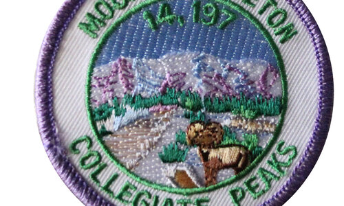
$5.00Mount Yale is part of the Collegiate Peaks in the Sawatch Range of the Rocky Mountains of North America. Elevation 14,196 feet.
$5.00Named after the Greek god of the wind, the mountain was originally referred to as "Aeolus" in the 1874. It is one of three fourteeners in the Needle Mountains. Elevation 14,083 feet.
$5.00Mount Columbia is part of the Collegiate Peaks near Buena Vista. Elevation 14,073 feet.
$5.00Humboldt Peak is located near Westcliffe and was named in honor of German naturalist and explorer Alexander von Humboldt. Elevation 14,064 feet.
$5.00Handies Peak is a high and prominent mountain summit of the San Juan Mountains range in the Rocky Mountains. Elevation 14,048 feet.
$5.00Ellingwood Point was named in honor of Albert Russell Ellingwood, an early pioneer of mountain climbing in the Western United States and in Colorado in particular. Elevation 14,042 feet.
$5.00 Shop
Shop


