

- 402 E. Main Street, Buena Vista CO (719.395.8001)
- BV 9:00 am - 6:00 pm Every Day
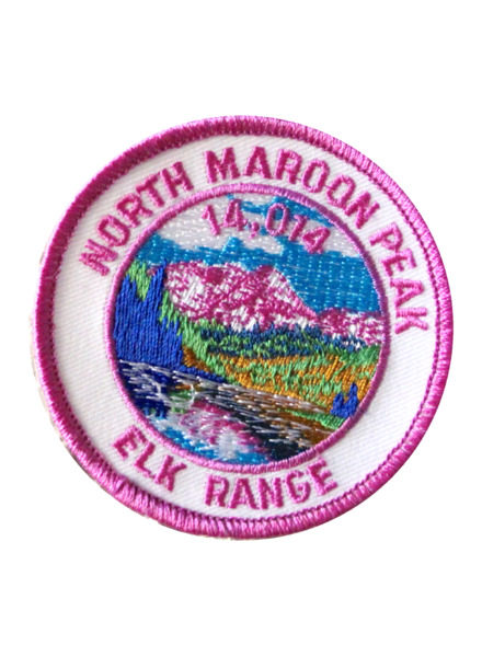
North Maroon Peak is one of the most-difficult of the standard 14er routes. It is located near Aspen. Elevation 14,014 feet.
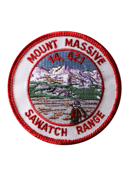
$5.00Mount Massive is located near Leadville in the Sawatch Range. Its name comes from its elongated shape: it has five summits, all above 14,000 ft. Elevation 14,421 feet.
$5.00Previously known as Old Baldy, Mount Lindsey is named after Malcolm Lindsey. Located near Fort Garland. Elevation 14,042 feet.
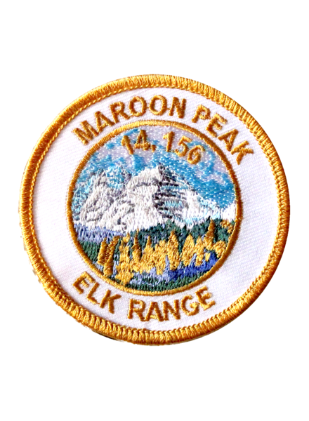
$5.00The Maroon Bells are two peaks in the Elk Mountains, Maroon Peak and North Maroon Peak, separated by about half a kilometer. Elevation 14,156 feet.
$5.00Little Bear is located on the Sierra Blanca Massif 8.8 miles of the Town of Blanca. This mountain is composed of pre-Cambrian granite estimated to be approximately 1.8 billion years old. Elevation 14,037 feet.
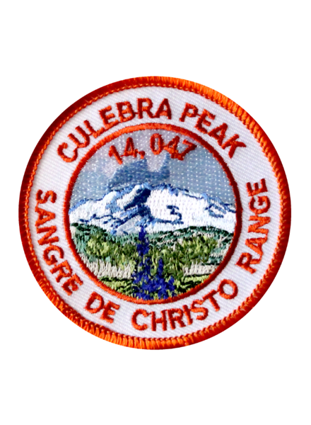
$5.00Culebra Peak (Spanish for "snake") is located on private land, 14.2 miles of San Luis in Costilla County. Elevation 14,047 feet.
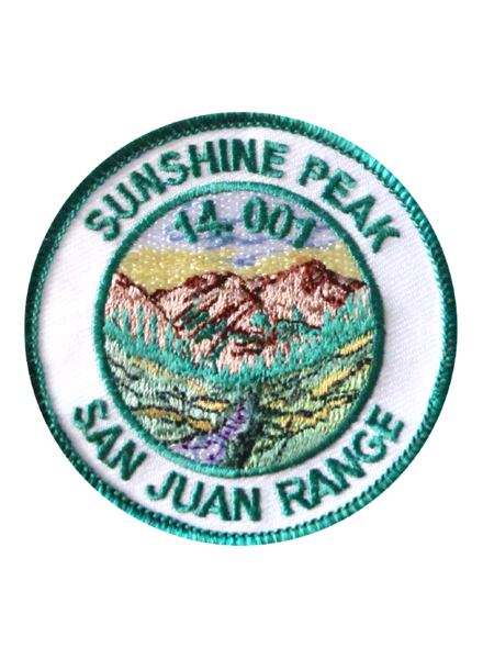
$5.00Sunshine Peak has the distinction of being the lowest of Colorado's 53 fourteeners. Elevation 14,001 feet.
$5.00Quandary Peak is the highest summit of the Tenmile Range in the rockies and is the most commonly climbed fourteener in Colorado. It has nearly the same elevation as Castle Peak and Mount Blue Sky. Elevation 14,265 feet.
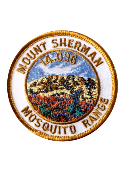
$5.00Mount Sherman is one of the most nondescript of the fourteeners, and one of the easiest to climb; it is recommended as a beginner fourteener. Elevation 14,036 feet.
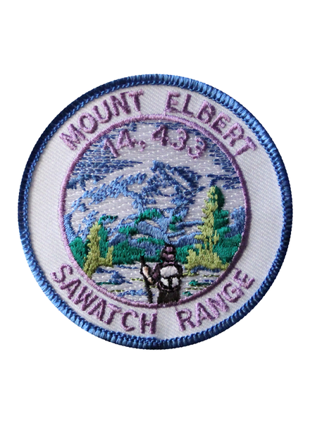
$5.00Mount Elbert is located near Leadville and is the highest summit in the rockies. Elevation 14,433 feet.
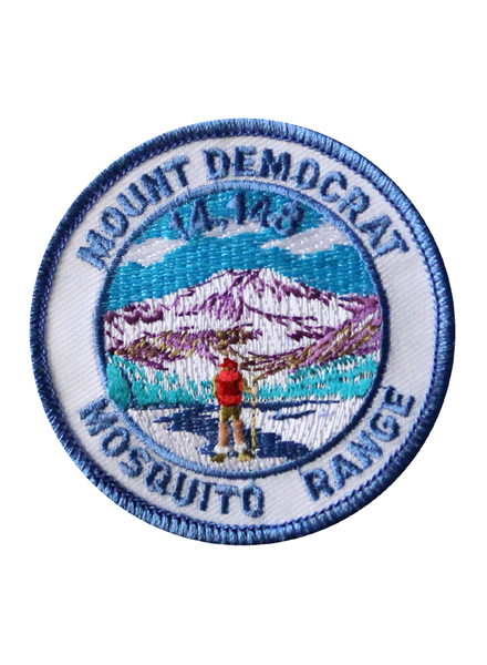
$5.00Mount Democrat is located 5.4 miles northwest of the Town of Alma. It was once known as Republic Mountain and Mount Buckskin. Elevation 14,148 feet.
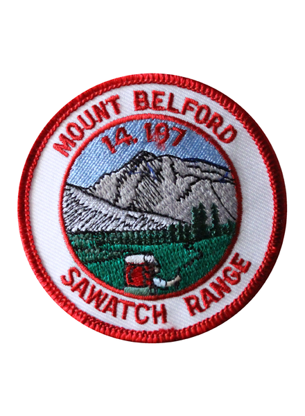
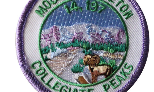
$5.00Mount Belford is a high mountain summit of the Collegiate Peaks in the Sawatch Range. Elevation 14,197 feet.
$5.00

 Shop
Shop